It is exactly 500 kilometers from Keflavík to the southeastern tip of Iceland. And if you want to discover the capital Reykjavík first and then embark on a road trip south, you still have 450 kilometers to go to Höfn. However, from Reykjavík you should definitely make a detour via the Golden Circle, the most famous round trip in Iceland.
First highlight after the luggage belts
But before you start there, the first highlight on the way from Keflavík to Reykjavík is the famous Blue Lagoon. Either you take a bath in the hot water here or you visit the impressive infinity pool of the Sky Lagoon in Kópavogur.
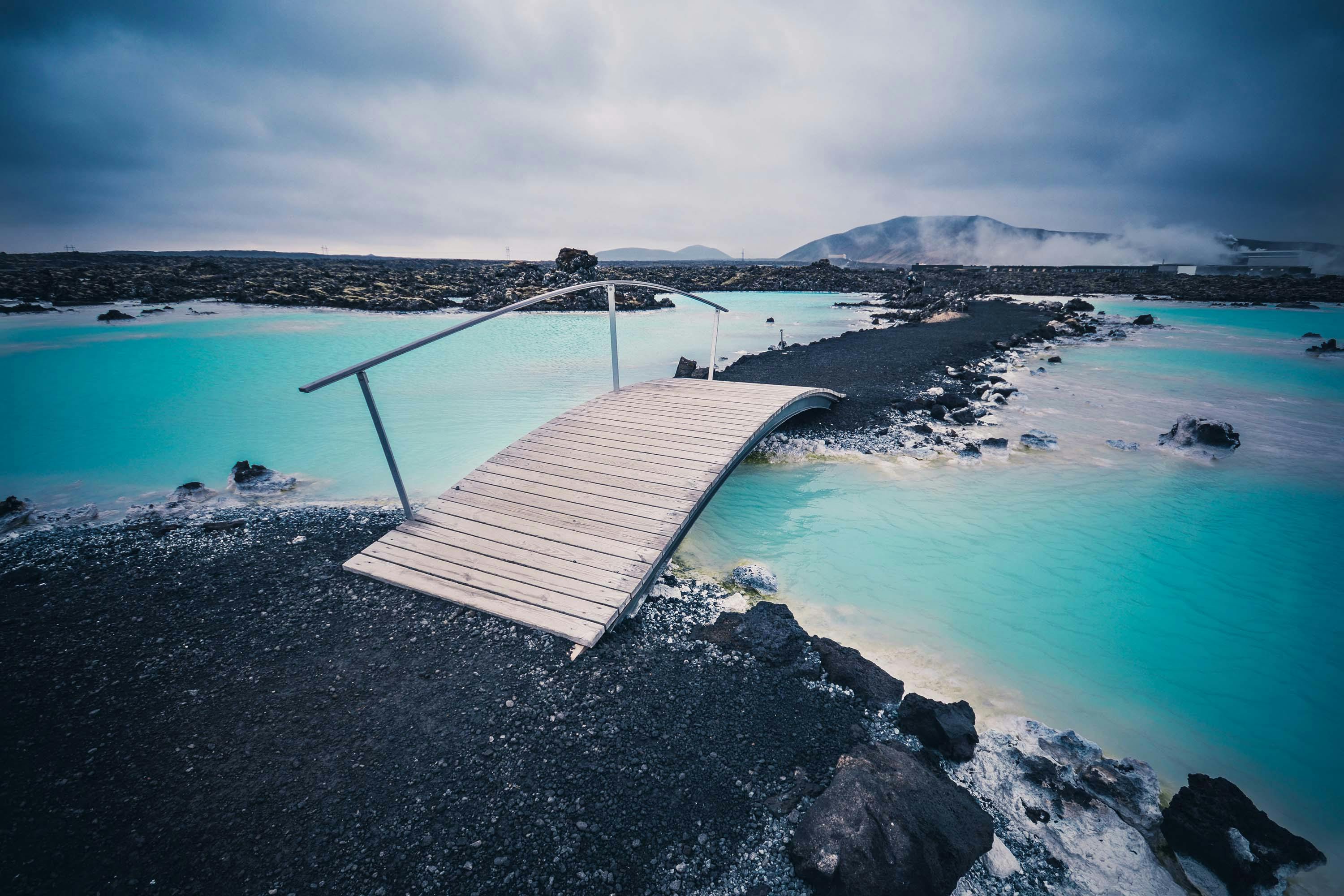
Reykjavik must be
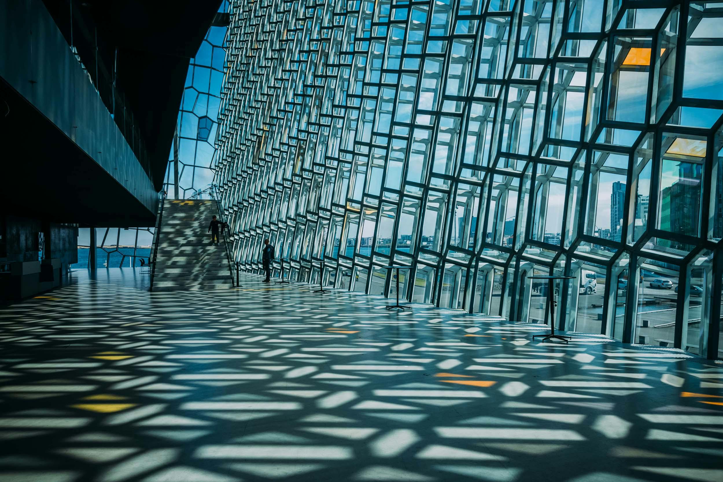
You should take a day or two for the capital itself, our blog post lists the must sees from Hallgrímskirkja to the boutiques and design scene on Laugarvegur to the Harpa concert hall and the hip Old Port with its restaurants, galleries, bars and museums.
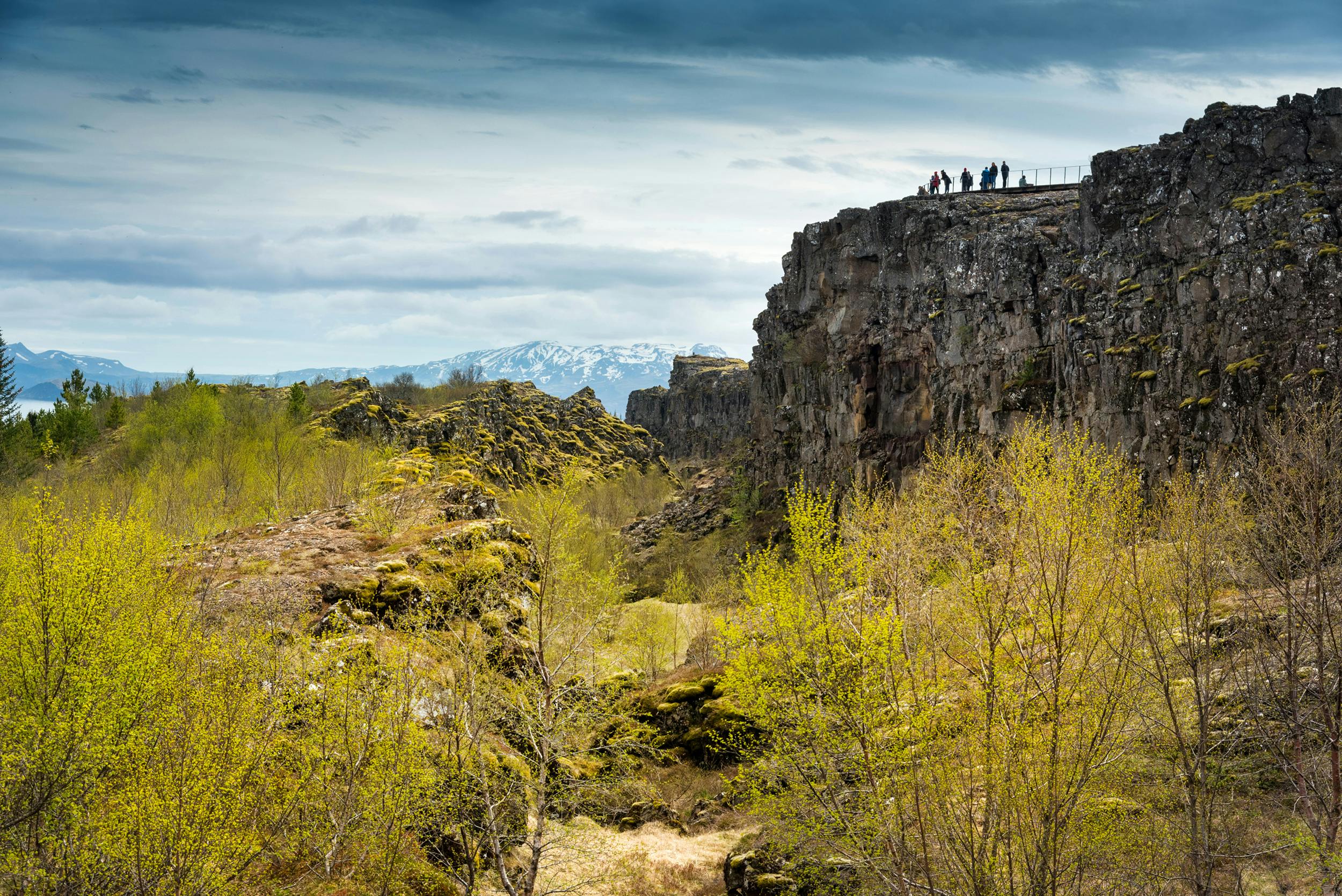
Fissures and history in Thingvellir National Park
Once you've explored the capital, head north off the ring road for a few miles and then turn east onto the Golden Circle at Mosfellsbaer. A few kilometers later, Thingvellir National Park awaits you with its wide chasms. There you can hike along Lake Thingvallavatn, where the world's first parliament, the Althing, met more than 1,000 years ago, or go snorkeling or diving in the Silfra fissure
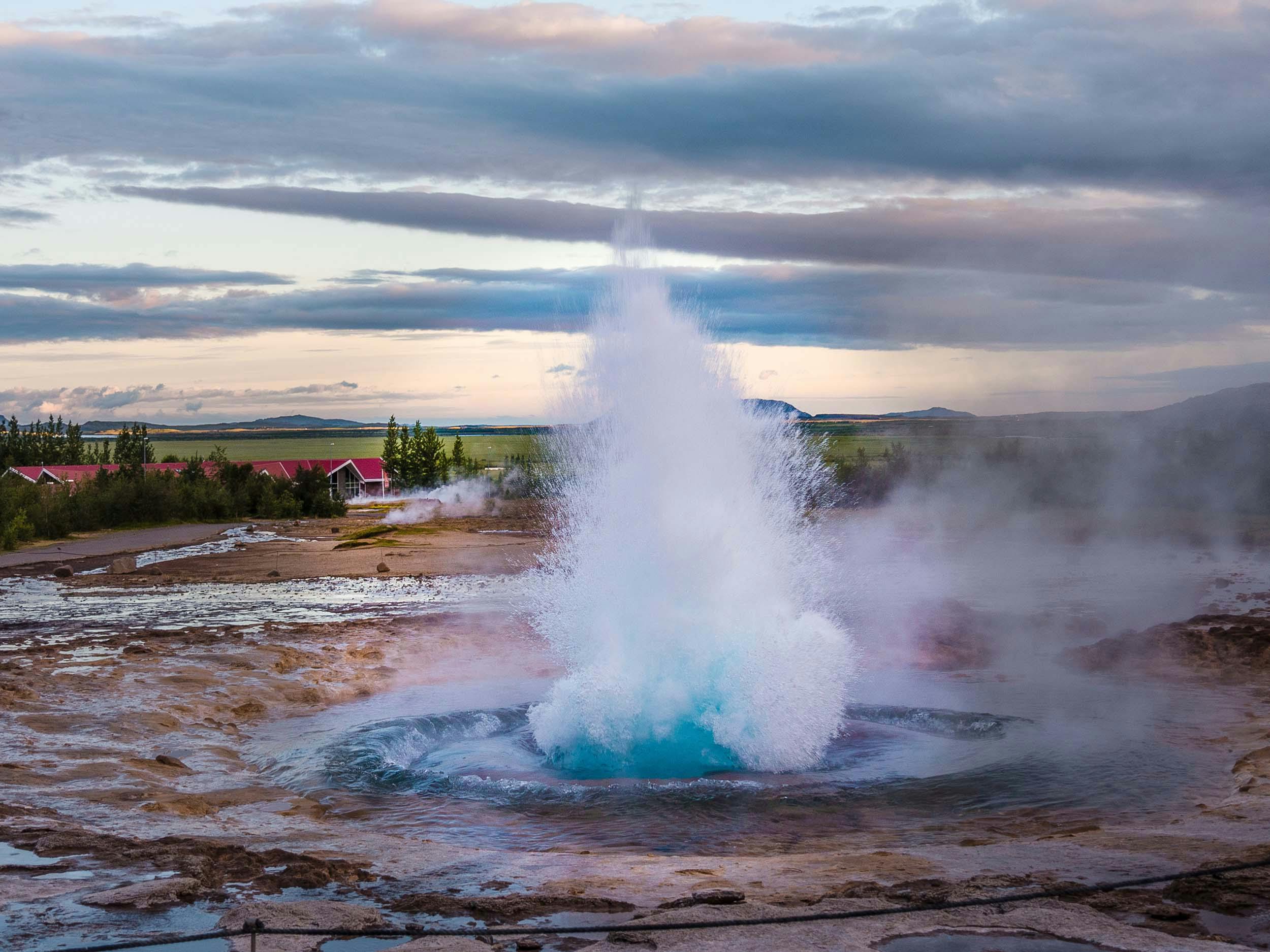
He always jumps: Geyser Strokkur
If you leave the national park and continue east, you will soon reach the namesake of all springs in the world, the geyser Strokkur. Be careful which way the wind is blowing so you don't get a scalding hot shower and then drive a few more kilometers to the golden waterfall Gullfoss.
Here there is more of a cold shower, but very often one or even more rainbows, which also gave the waterfall its name. The Golden Circle then takes you further south and over the ancient bishopric of Skálholt, where you can sample homemade cakes at the café next to the church.
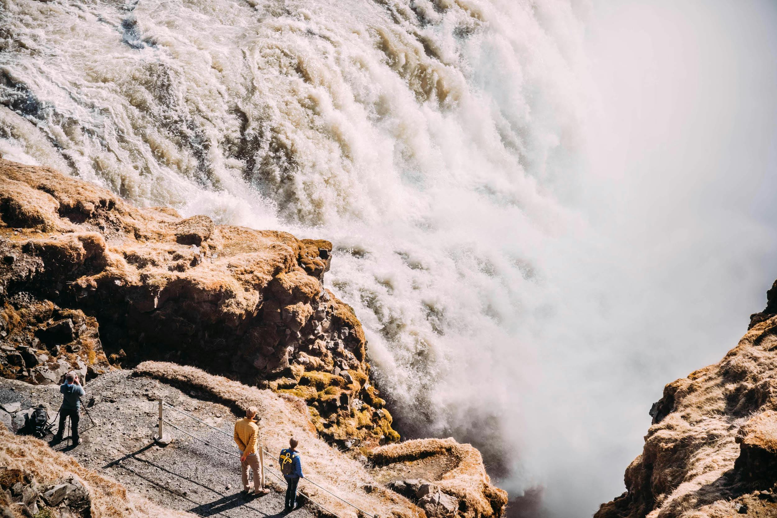
Selfoss is worth a stop
Once you reach the ring road, you could visit the small town of Selfoss just a few kilometers further west, or drive along the south coast to the next scenic highlight, Seljalandsfoss.
Hvolsvöllur in the south
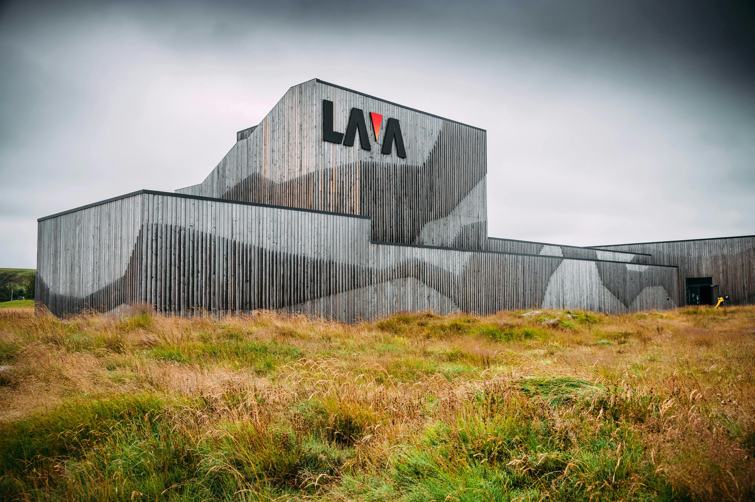
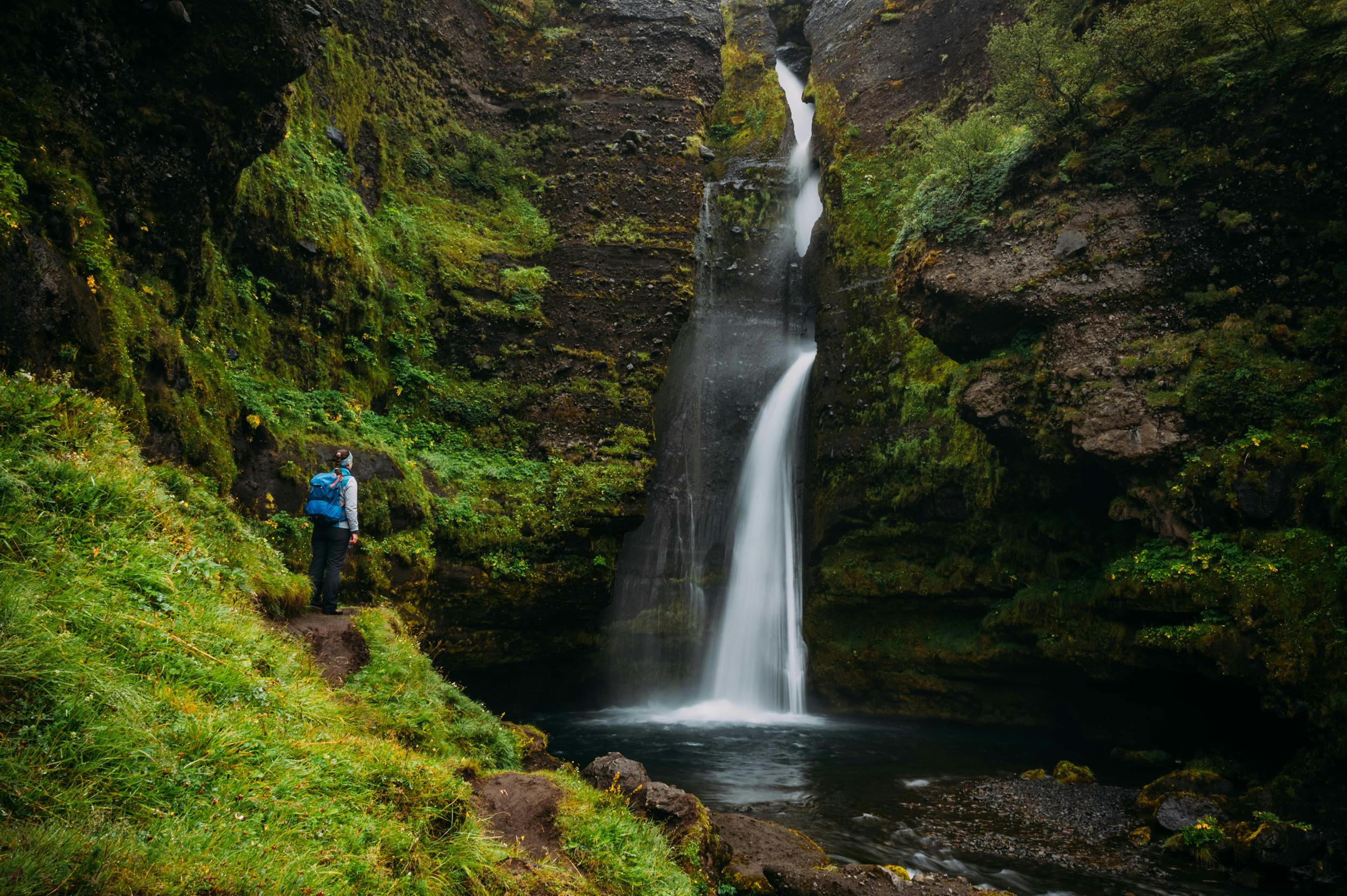
If you have a little more time, then in Hvollsvöllur we strongly recommend you first visit the interactive Lava Center, where you can learn all about volcanoes and volcanic eruptions, and then take a short walk at Gluggafoss, north of the mighty glacial river Markarfljót.
You can reach this lesser-known, but still very beautiful waterfall via road 261 from Hvolsvöllur. In this area you will also find great holiday homes, some even with a view over wide farmland to the sea.
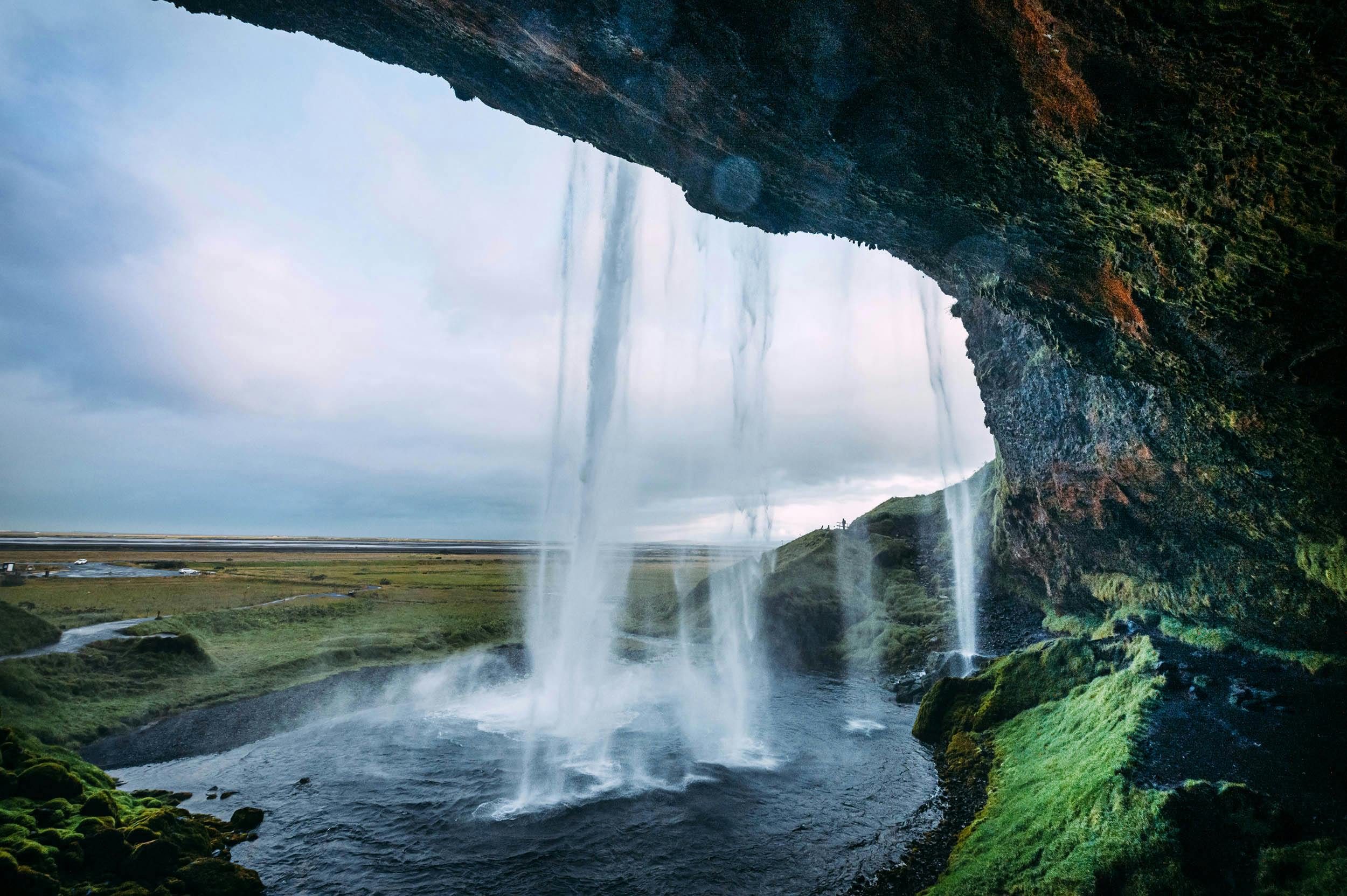
Walk behind the waterfall
Seljalandsfoss is only a few kilometers as the crow flies to the south. What makes it so special is the opportunity to hike behind the waterfall and look through the veils of water to the wide plain of the Markarfljót.
If you are traveling with a large 4x4 vehicle and are looking for a region to hike, then you could drive into the valley from Seljalandsfoss and explore the region of Thórsmörk between the Tindfjallajökull and Eyjafjallajökull glaciers.
Volcanic eruption paralyzes air traffic
You may remember the 1,651 meter high Eyjafjallajökull from the volcanic eruption in 2010: After the eruption of the stratovolcano under the glacier, its kilometer-high ash cloud brought air traffic between Europe and North America to a standstill for several days and its pronunciation caused newscasters to despair.
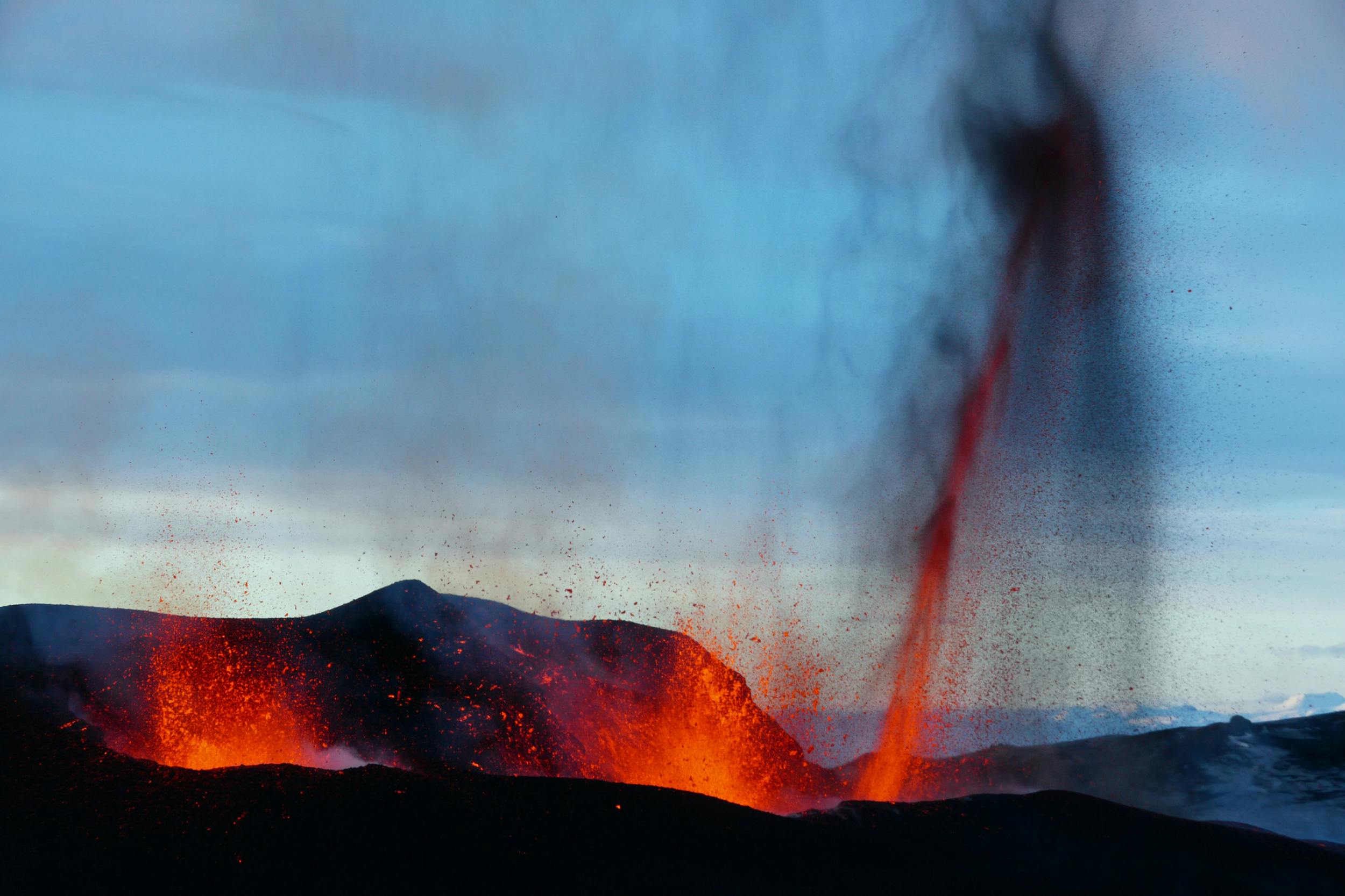
This is also where the Katla UNESCO Geopark begins. Again and again you will come across information boards that will bring you closer to the geological features of this area, which is unique in the world.
Deeper south
You can book a guided tour of the glacier or simply continue along the ring road on the south coast. Before you reach the next spectacular waterfall, you pass farms, high cliffs from which small rivulets tumble from time to time, and lava caves such as Rútshellir, which were once used as sheep shelters or pantries.
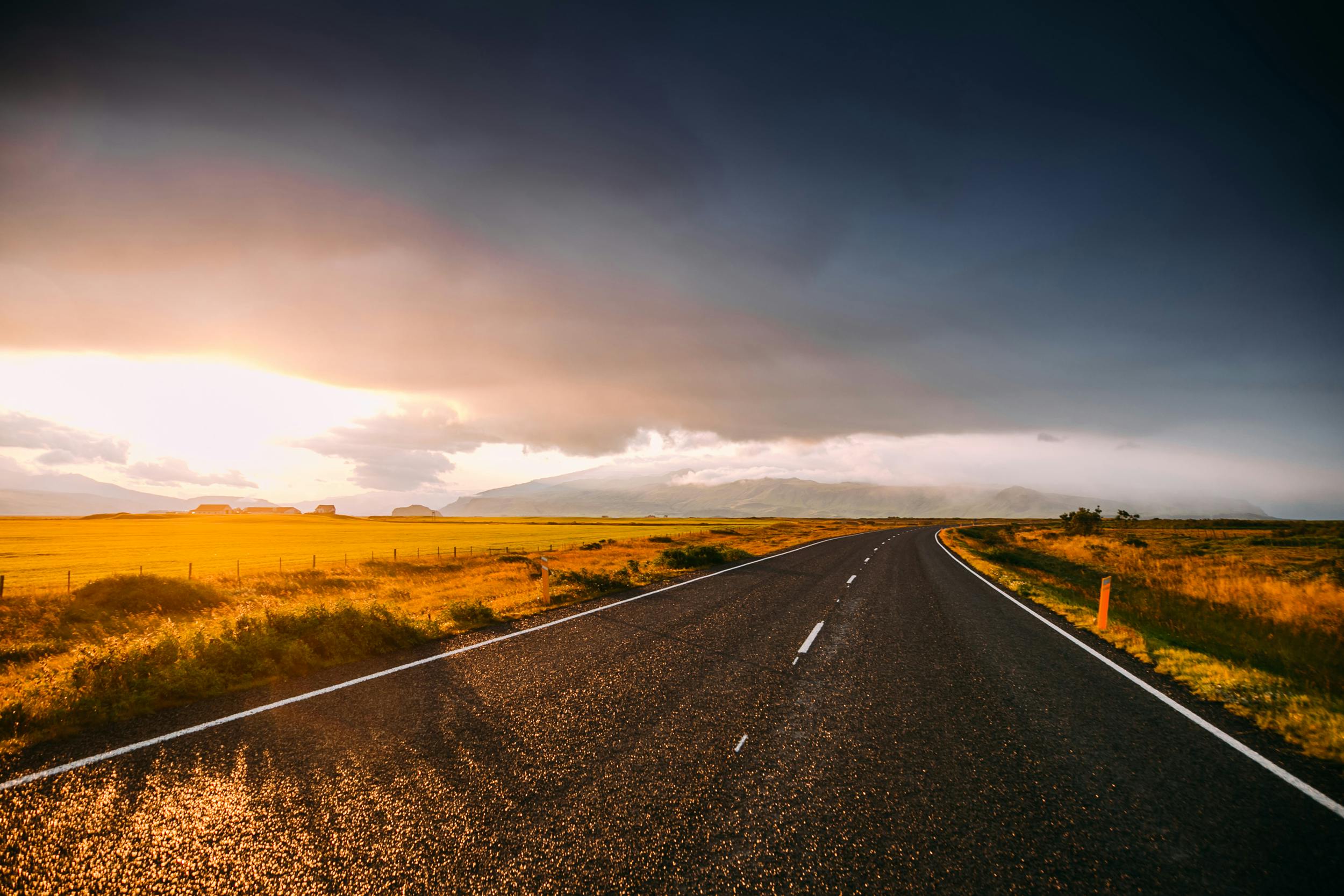
In good weather you can see the Westman Islands in the south, near Seljalandsfoss there is an airfield from which sightseeing flights start there.
Waterfall and local history museum
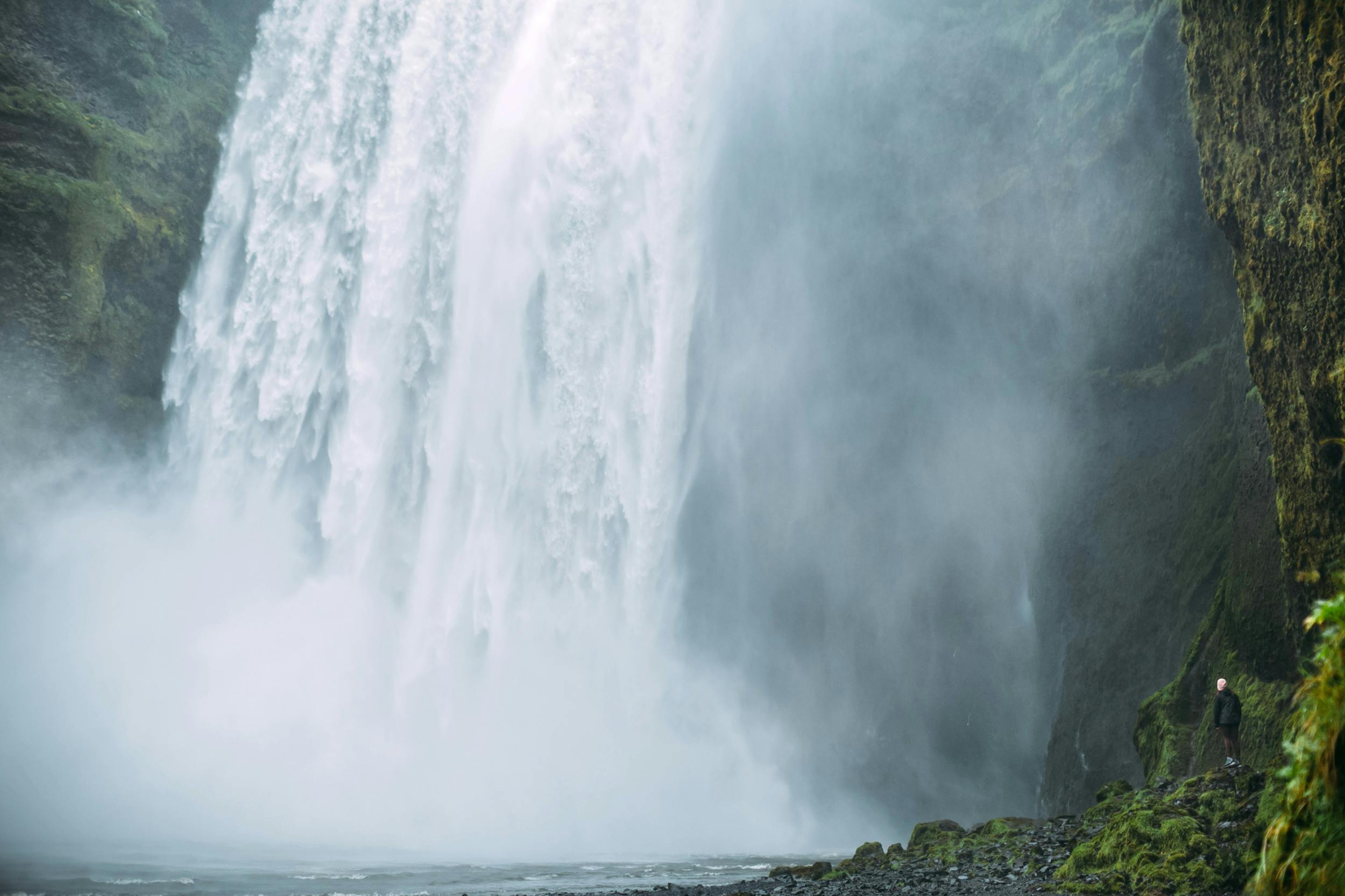
If you don't feel like blowing holes, then you better take your time and explore the region around Skógafoss. As well as the impressive waterfall, be sure to visit Skógar's local history museum, explore the turf houses and admire over 6,000 artefacts dating back to the Viking Age.
60 meters of pure hydropower
With a drop of 60 meters, Skógafoss is one of the highest waterfalls in southern Iceland. A legend says that the settler Thrasi is said to have sunk his pot of gold behind the falls. The brave keep trying to get as close to the thundering fall as possible, but the result is nothing more than a powerful shower. You should definitely take your time and walk the hiking trail to the right of the waterfall.
Platform above the waterfall
A wooden platform was built above Skógafoss, from which you have a breathtaking view over the majestic waterfall south to the Atlantic. From the platform, the trail takes you upstream, and while there are still some spectacular waterfalls in the next few miles, few visitors go further.
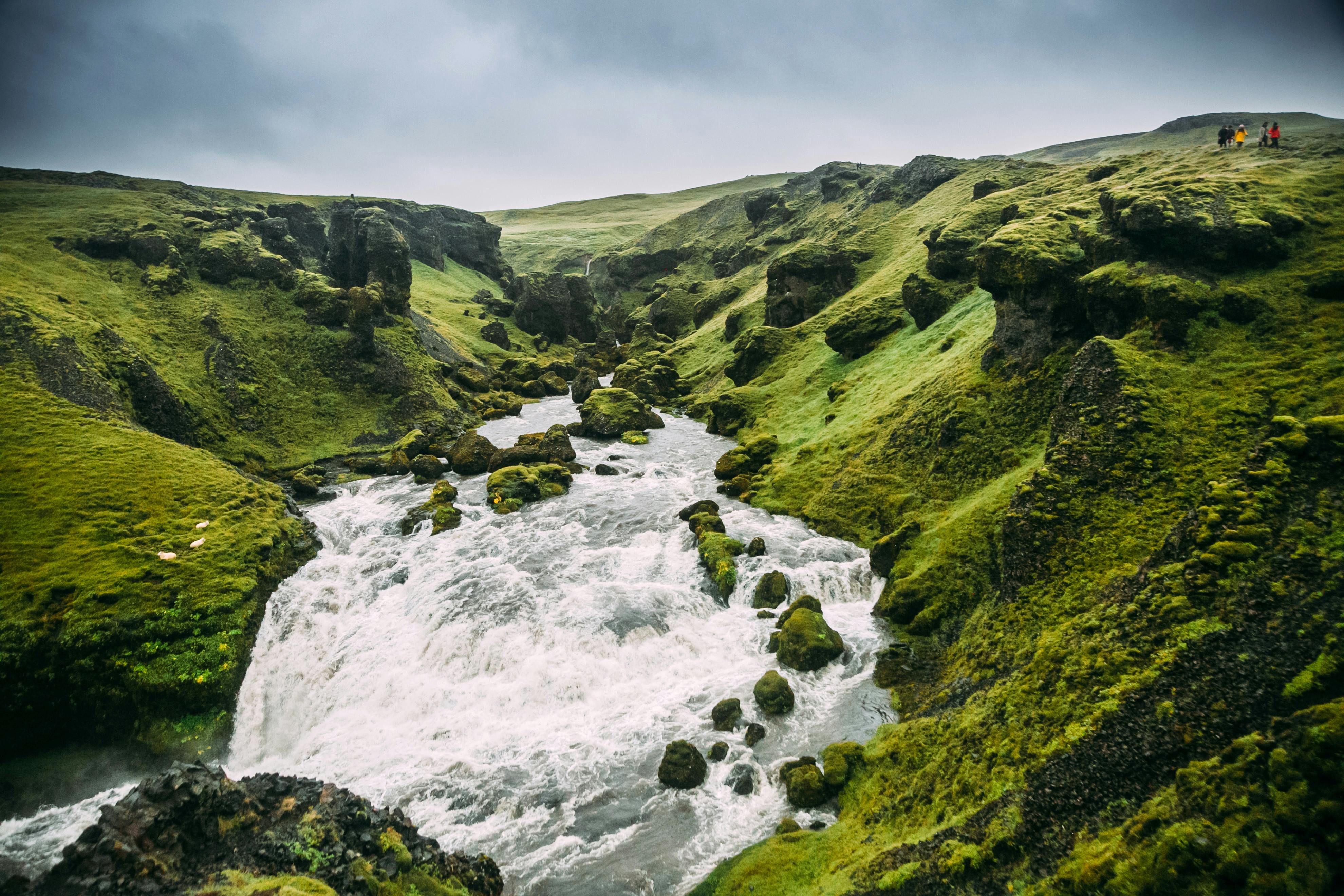
But how about a picnic on a sunny day with a view of the deep valley of the Skógá, surrounded by sheep and flowering meadows? Our tip: Plan at least 3 hours for the area around Skógafoss. If you are looking for a holiday home nearby, then take a look around here.
Iceland's most famous plane wreck
When you're back on the ring road to continue along the south coast, you might as well leave your jackets on. A few minutes after Skógar you will reach a parking lot on the right side of the road.
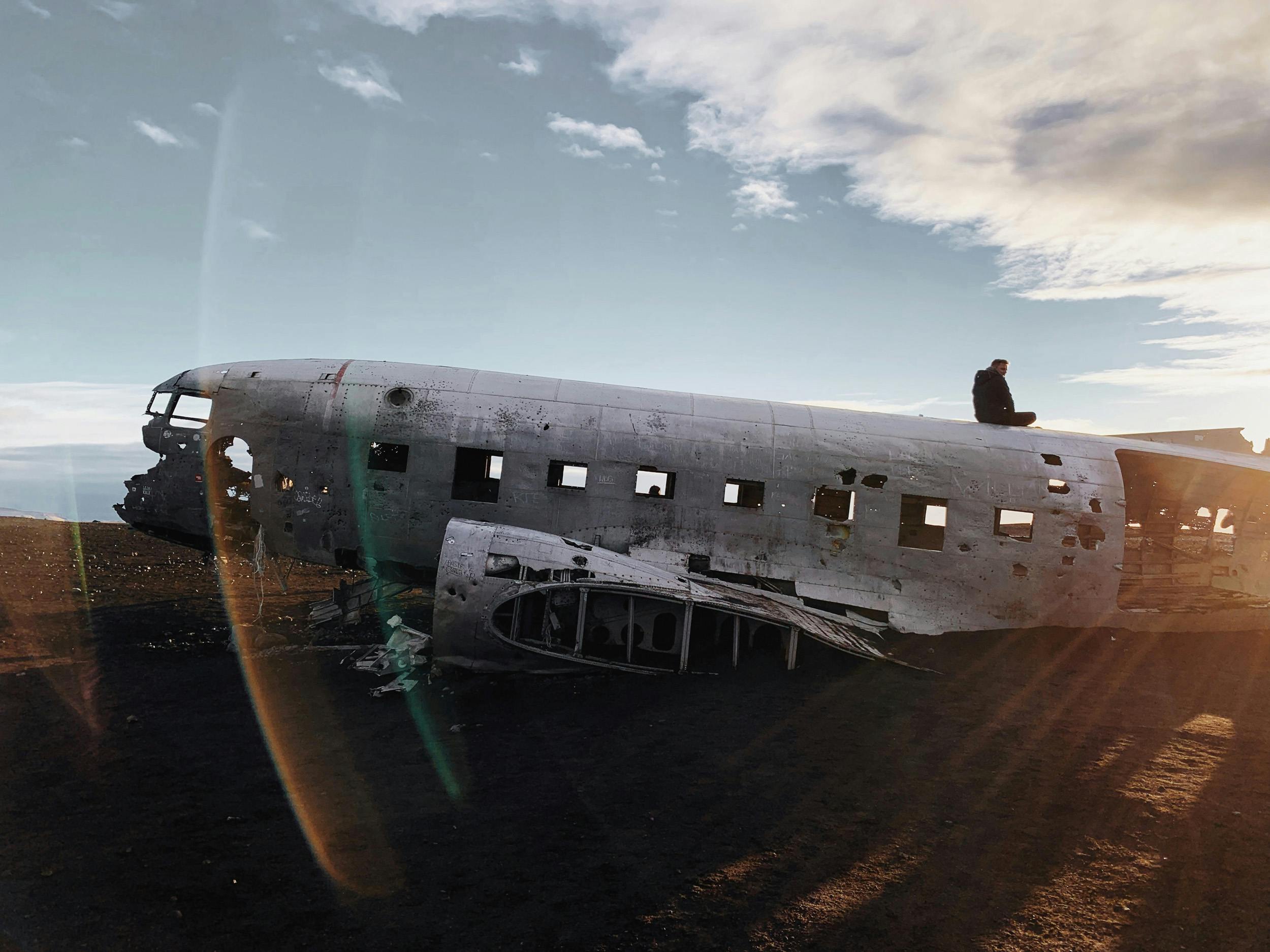
From here you have to walk about 50 minutes over the black lava sand of Sólheimasandur, after which you will reach another Instagram highlight in the south: the wreck of a US Navy DC-3 that made an emergency landing in 1973 due to lack of fuel. If you are out very early, you could even be there alone and take the photo motif, silver-colored wreck on black and selfie, in the limelight.
Glacier tongue as an indicator of climate change
If you don't fancy planes, then after Skógar take the first left turn, heading north, and drive to the glacier tongue of Sólheimajökull. Here you can book a tour with a guide and crampons on the glacier or walk the paths to the glacier yourself.
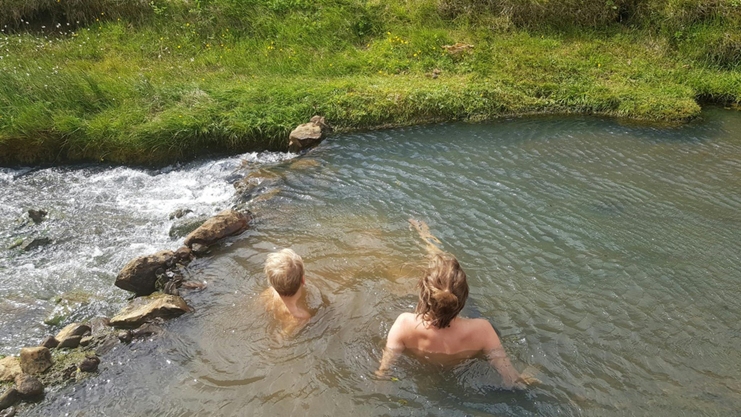
Sólheimajökull, which is part of the Mýrdalsjökull plateau glacier, has been observed and regularly surveyed by glaciologists for many years. Global warming is responsible for the strong melting and the clearly visible retreat of the glacier tongue. Less than 100 years ago, the glacier tongue of Sólheimajökull was where the car park is today.
A rock arch for birds and aviators
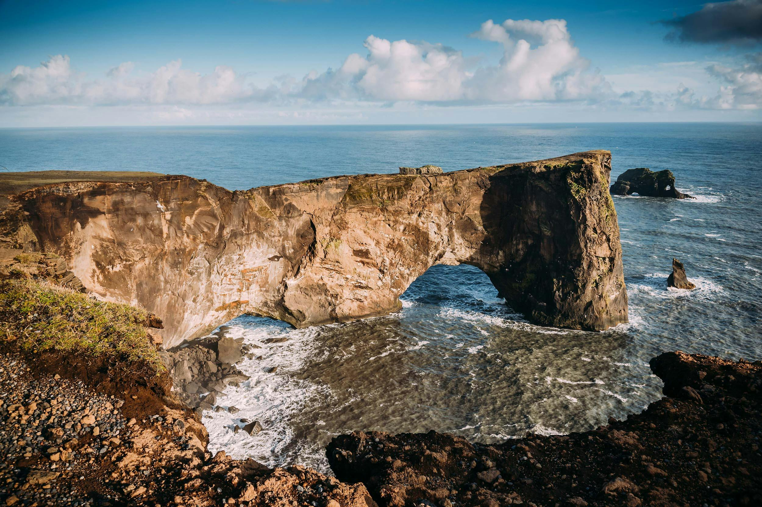
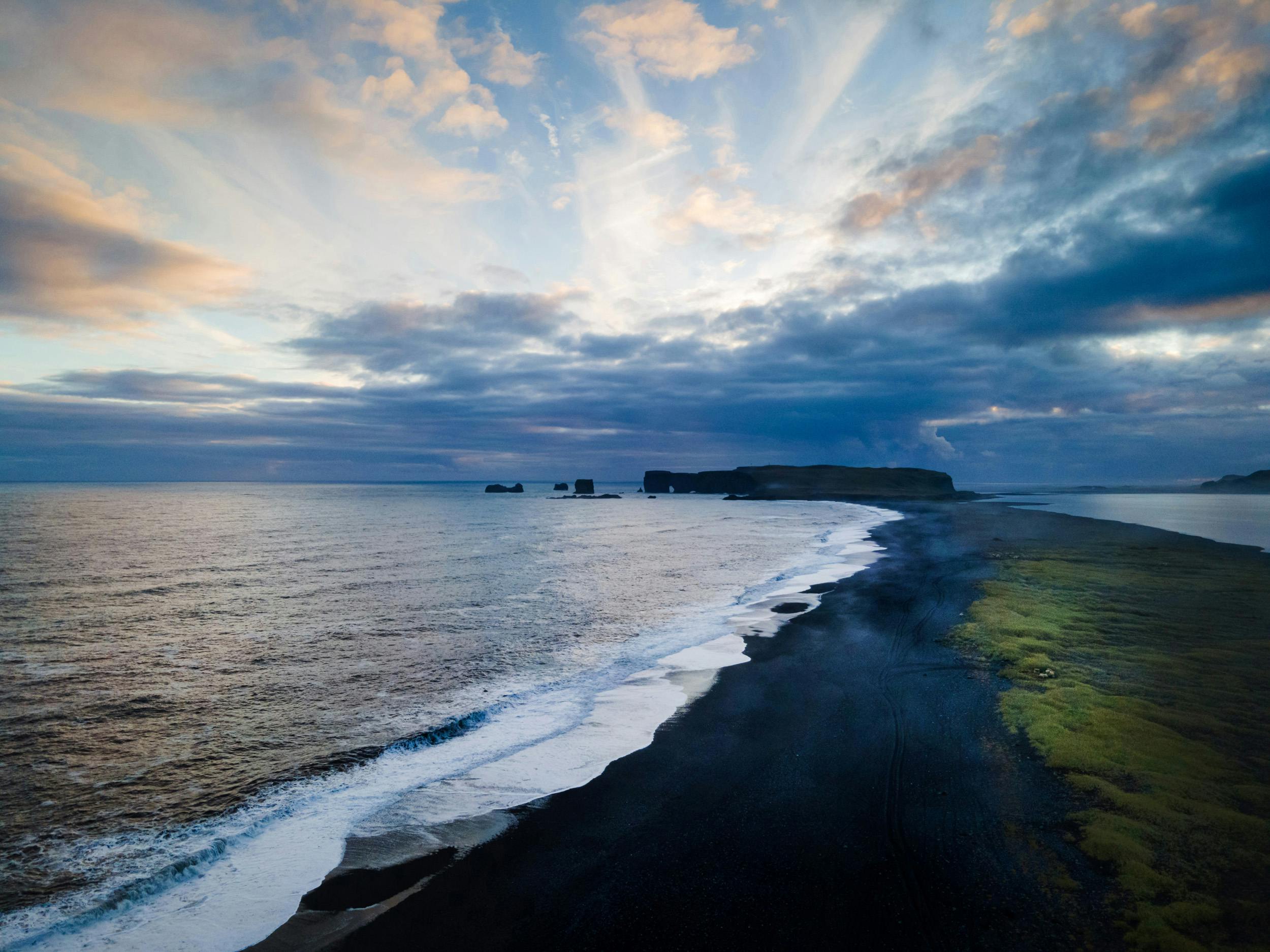
Another 15 minutes' drive later, be sure to detour south on road 218 to the 120 meter high Dyrhólaey headland. From the top you have a breathtaking view of the Atlantic and a seemingly endless sandy beach that stretches from here almost to Skógár.

Thousands of seabirds, including Iceland's heraldic bird, the puffin, nest in the cliff's cavities, perch on the narrowest ledges and feed their offspring with fish from the sea. Dyrhólaey means "door hole", the name comes from the huge rock arch that the sea has carved out of the headland over thousands of years and through which even a daring pilot has piloted his small plane.
Black dream beach
If you think you have a little time to breathe now, you're wrong. Again only a few kilometers further the black sandy beach of Reynisfjara is waiting for you. If the Dyrhólaey cliffs were too windy for you, then this beach might be a good option for a picnic. But pay close attention to how far the waves rush up onto the beach, lest you be caught off guard by the dangerous Atlantic waves! If you heed the danger signs, there's no better place to watch the Atlantic Ocean roar with a cup of hot tea or coffee.

Basalt columns and strong sea current
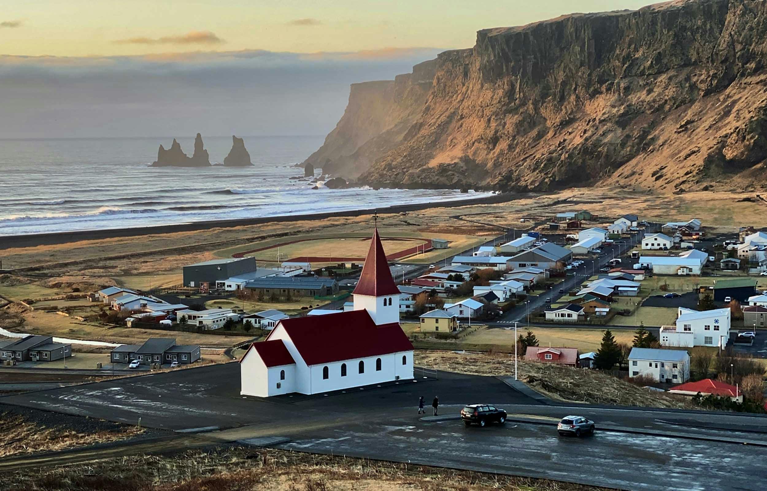
As soon as you come from the parking lot onto the beach, Reynisfjall is on your left, a 340 m high tufa mountain that was created by a volcanic eruption under a glacier and around which seagulls circle with loud cries. The mighty basalt columns at the foot of the mountain and the cave Hálsanefshellir further to the east are particularly exciting and a great photo motif.
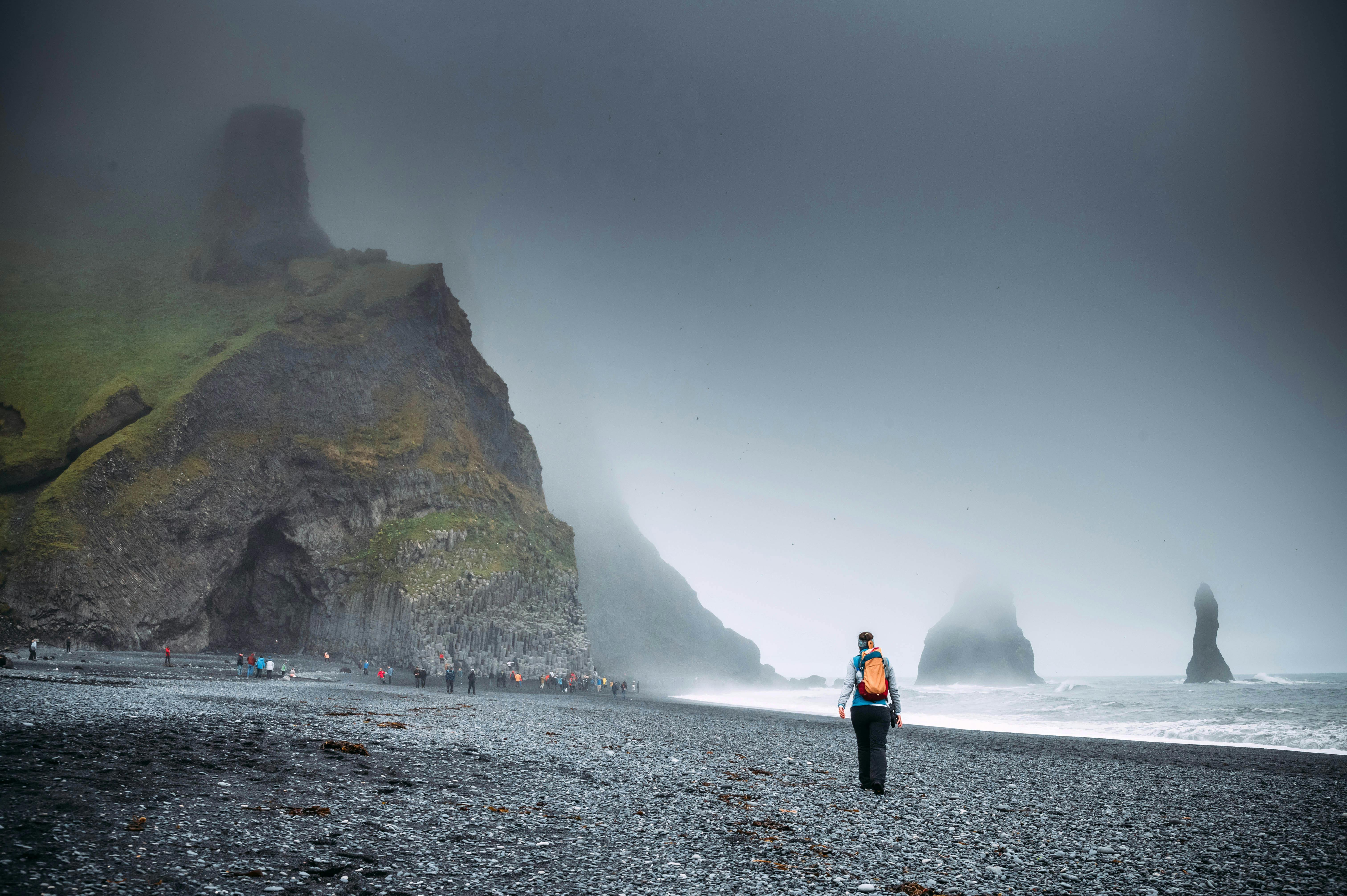
Passt bitte beim Besuch von Reynisfjara auf die Wellen auf und haltet euch vom Meer fern, in den letzten Jahren sind hier immer wieder Menschen von der Strömung erfasst worden und ertrunken!
Mystical rocky cliffs in the sea
But of course this beach on the south coast of Iceland is a must-visit and a very long walk! You will find that the vast majority of visitors stay just a few meters from the parking lot, take pictures of the bastalt columns and the Reynisdrangar rock formations up to 66 meters high out in the sea and then jump back into the car.
Further south
If you continue east on the ring road on the south coast, you will pass the village of Vík and then cross Mýrdalssandur, the alluvial plain of the 1,493 meter high Mýrdalsjökull, which is criss-crossed by many small watercourses.
What makes this Platau glacier very special is the active volcano Katla, which is located under the ice and has repeatedly caused severe devastation in the history of Iceland. Scientists assume that at least 16 eruptions of the Katla have taken place since Iceland was settled, in the Average every 40-60 years.
Netflix series "Katla"
If you are interested in this mysterious volcano and in a mystery series, why not stream Katla on Netflix before your trip. A large part was filmed in Vík and the surrounding area, and an eruption of Katla plays an important role.
Größter Vulkanausbruch der jüngeren Geschichte
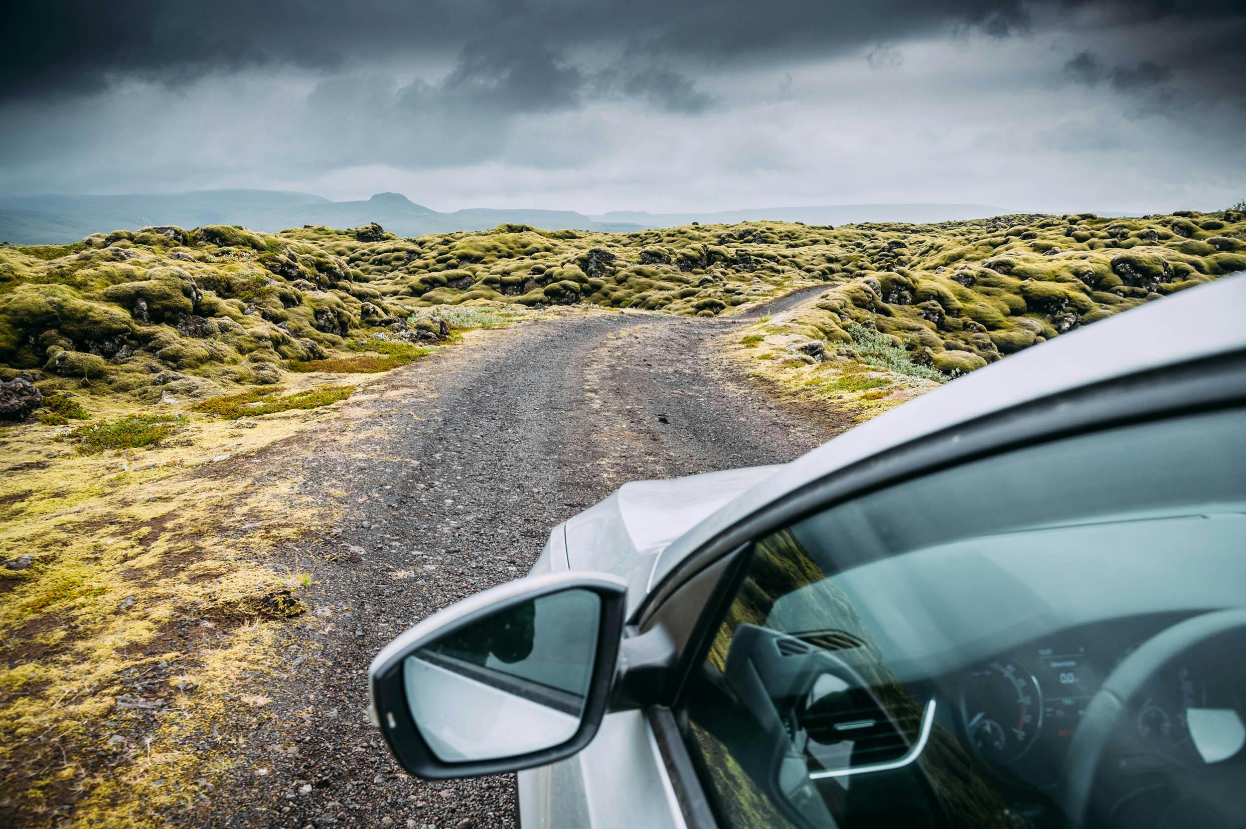
Once you leave the Mýrdalssandur plain, the ring road crosses the impressive Skaftáreldahraun lava field. It comes from one of the most violent volcanic eruptions in recent history. In 1783, the Lakagígar erupted, a series of volcanic craters that you can access via a dirt road only by 4x4 vehicle. A massive lava flow erupted, which became known as the "Skaftá fire".
Lava as far as the eye can see
Scientists believe this is one of the largest single-eruption lava flows in the world. The extent of the lava flow is about 580 square kilometers.
Over slopes to Landmannalaugar
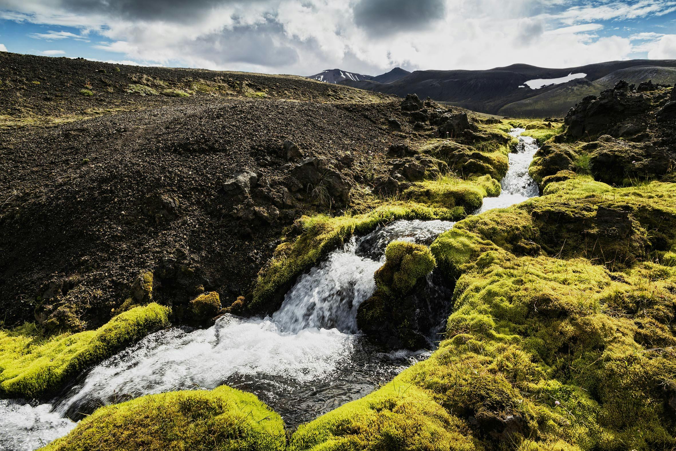
If you're traveling by jeep, you could drive from here along dirt roads to Landmannalaugar, or circumnavigate Mýrdalsjökull north to finally come back into populated areas near Gluggafoss. But be careful and well prepared, there are no gas stations, villages or shops in the mountainous area of Fjallabak National Park.
Justin Bieber ensures a boom in visitors on the south coast
However, if you continue to take the ring road east, you will reach the village of Kirkjubaejarklaustur. There is a lot to see and do in the municipal area, whether you are interested in a hike above the village, waterfalls or basalt columns. Of course, the Fjadrárgljúfur gorge is particularly famous, which received worldwide attention through Justin Bieber's video "I'll show you" and has since experienced a boom in visitors.
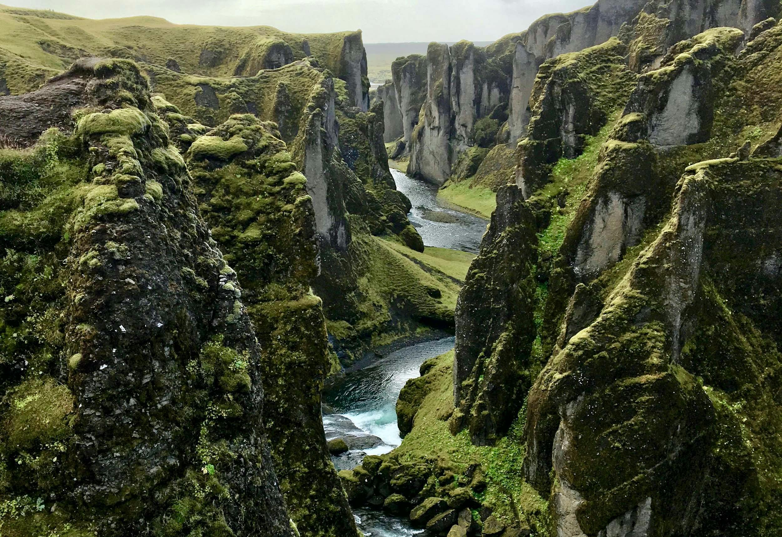
But it is just as nice to walk the hiking trail on the plateau above the village in good weather, which comes back down to the plain at the Stjórnarfoss waterfall.
Through a huge sandy area to the national park
When you leave Kirkjubaejarklaustur, after a few kilometers you will pass the imposing 688 meter high cliff Lómagnúpur and then drive into the vastness of Skeidarársandur. This alluvial area stretches over an area of 1,300 square meters from the Skeidarárjökull glacier tongue, which is part of Vatnajökull, to the sea in the south. Again and again you will now cross smaller and larger rivers.
Volcano eruption and glacier run
This area became world famous when there was a volcanic eruption in Grímsvötn below Skeidarárjökull in 1996.
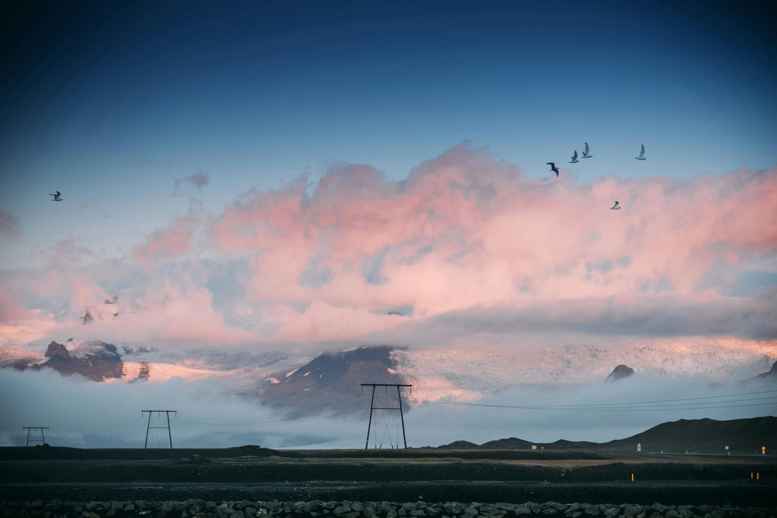
This triggered a glacier melt and a glacier run with massive flooding. Among other things, the Skeidarárbrú bridge was destroyed by huge icebergs from the glacier, which were swept away in the grey-brown masses of water. Just before you get to Skaftafell National Park, you can see everything that is left of the bridge: two completely bent steel girders in the sand, which serve as a monument to the forces of nature.
The Skaftafell National Park
Coming from the west via the ring road, you can already see a forested area on a mountainside between glacier tongues in front of you: Skaftafell National Park, which is part of Vatnajökull National Park, the second largest national park in Europe.
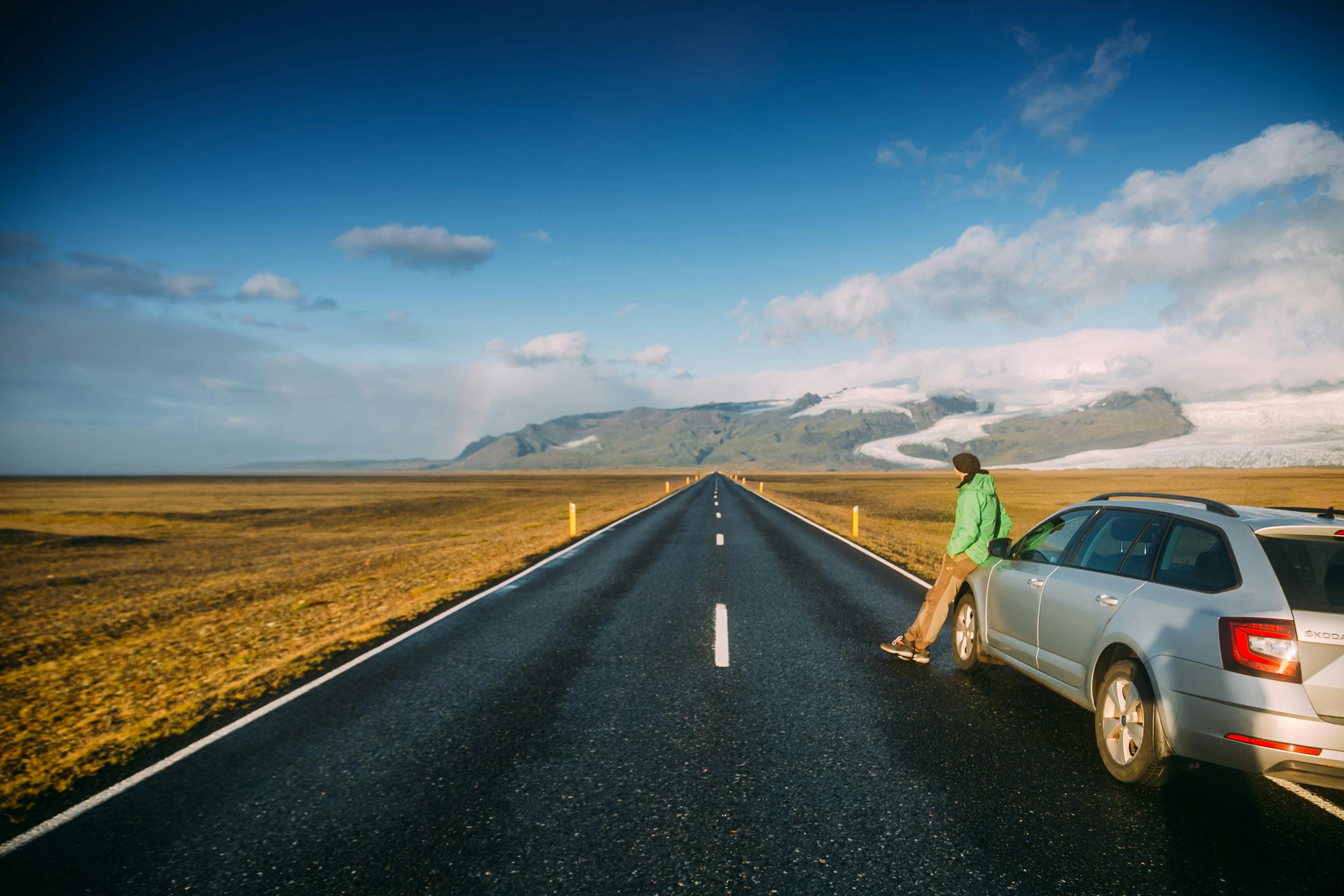
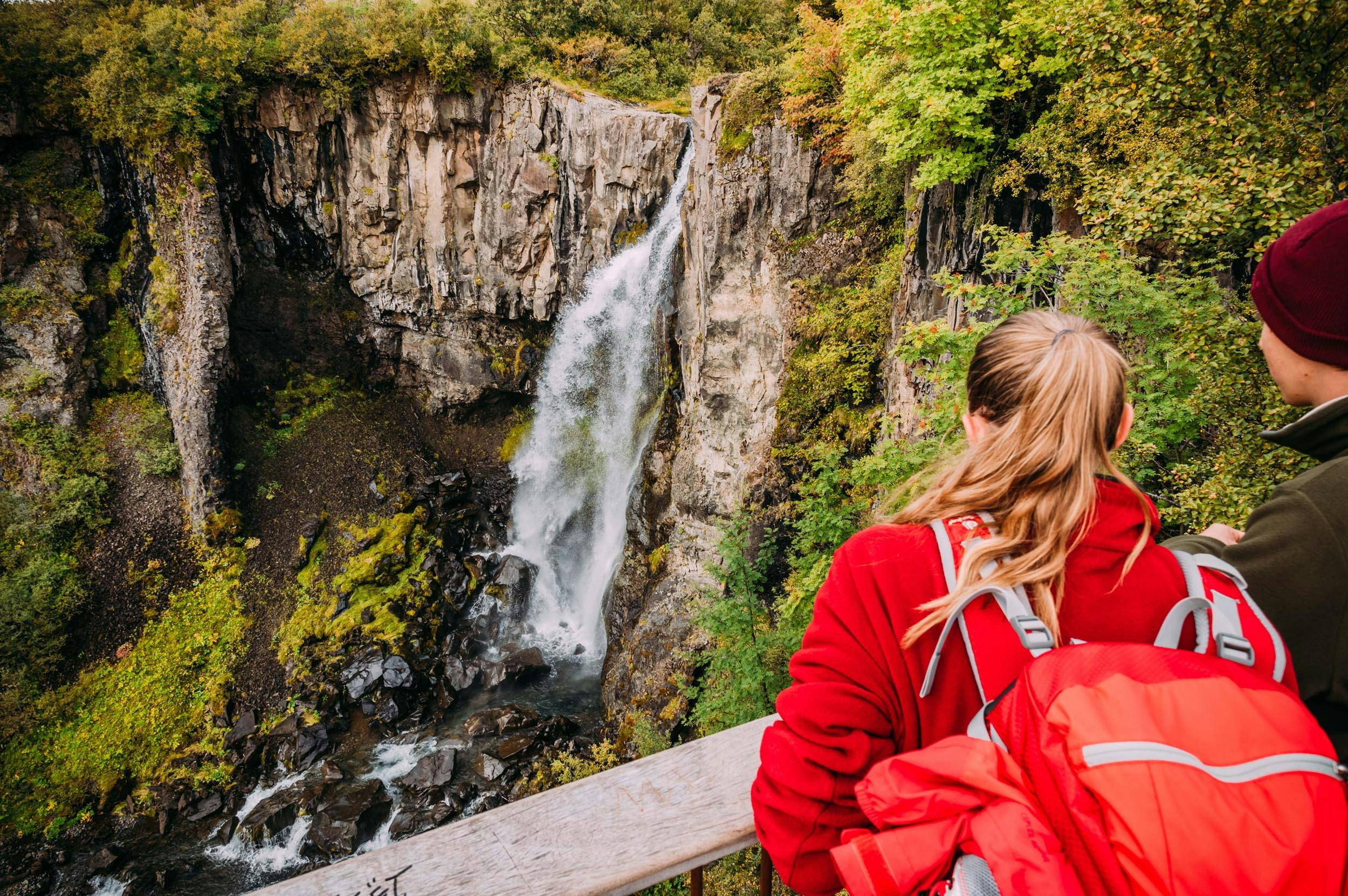
You should plan some time in Skaftafell. You can do everything from a short walk to Svartifoss waterfall to day hikes up Kristínartindar mountain or into the Morsárdalur valley on various hiking trails. For absolute mountain enthusiasts, Skaftafell is the ideal starting point for an ascent of Hvannadalshnúkur; at 2,110 m it is the highest mountain in Iceland.
Keep going along the south coast
If you have spent enough time in Skaftafell National Park and travel further east, you will pass glacier tongues of Vatnajöküll again and again. Short dead-end slopes lead to some, some with breathtaking picnic spots.
But one of the highlights of your Iceland vacation is not too far away: the glacial lagoon of Jökulsárlón. If you fancy a smaller lagoon before then, check out Fjallsárlón. Here, too, house-sized, blue and white shimmering icebergs are floating on a lake and you can take a boat tour to the ice giants, just like at Jökulsárlón.
Highlight in the south: The icebergs of Jökulsárlón
Jökulsárlón Lagoon has been part of Vatnajökull National Park for a few years. The basin in which the lagoon was formed was carved out by the glacial tongue of Breidamerkurjökull, part of Vatnajökull.
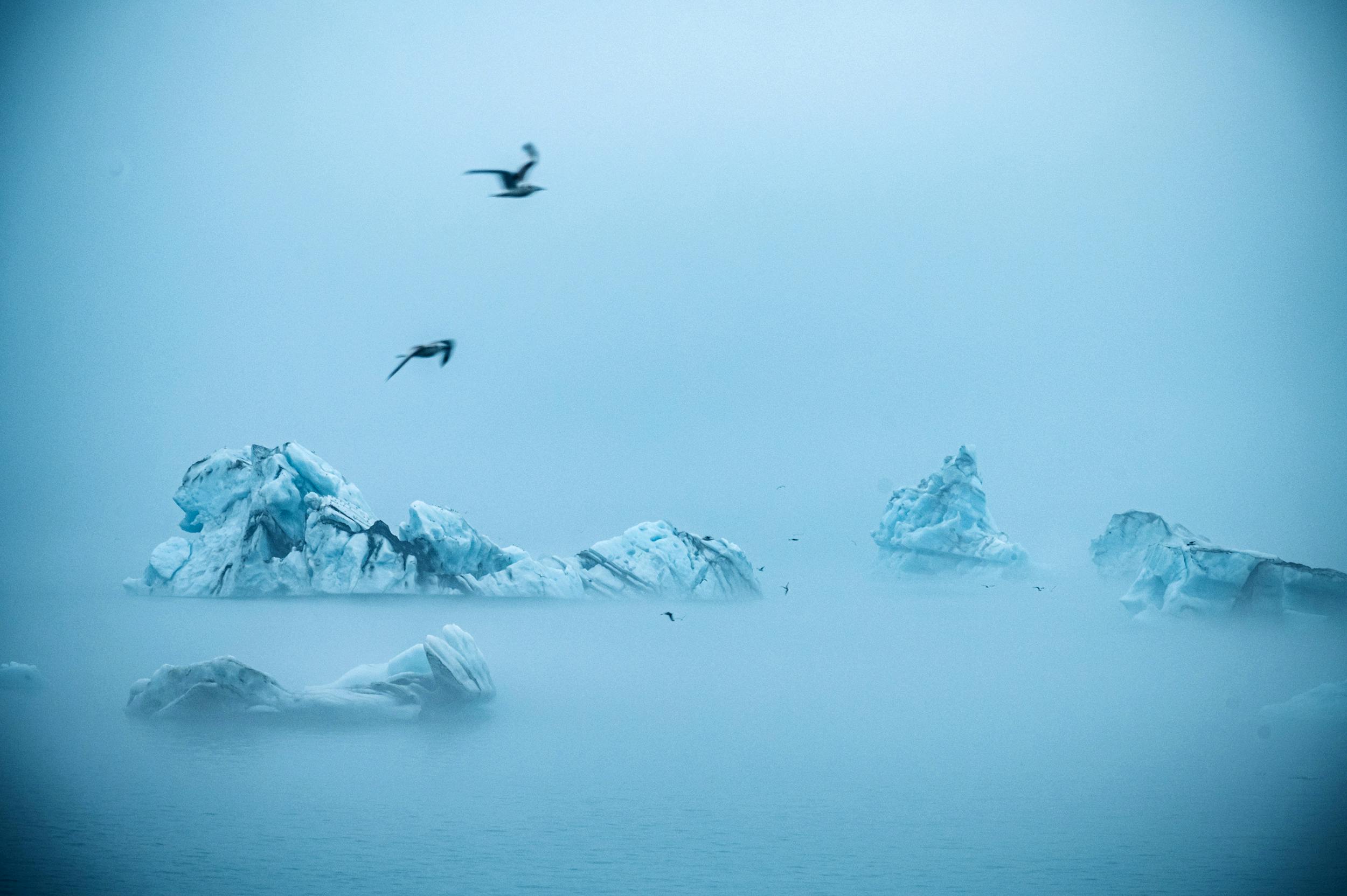
Take your time to find a quiet spot at the edge of the lagoon and enjoy the unique spectacle of nature. The large icebergs sometimes float on the still lake for several years until they finally melt so far that they can float through the short outflow into the sea.
The Diamond Beach
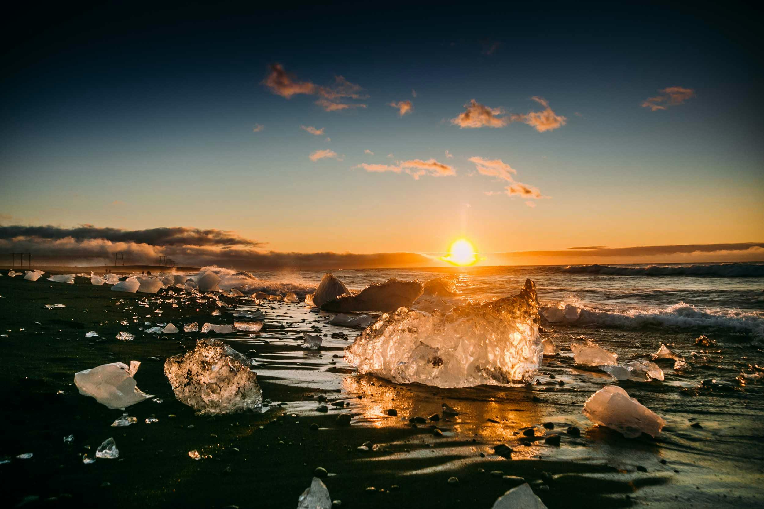
Depending on the current, some of them are then washed back onto the black lava sand beach, which lives up to its name "Diamond Beach", especially at sunrise, when the icebergs glisten in the sun.
The port city of Höfn is waiting
The last stage in the south (approx. 80 km) runs mostly within sight of the glacier tongues that push themselves from the Vatnajökull plateau glacier into the foreland. And after you have passed a few farms, you will reach the coastal town of Höfn. Here you can stay, shop, refuel or simply dine on excellent fish and chips at the Hafnarbudin snack bar by the harbour.

The extreme southeast of Iceland
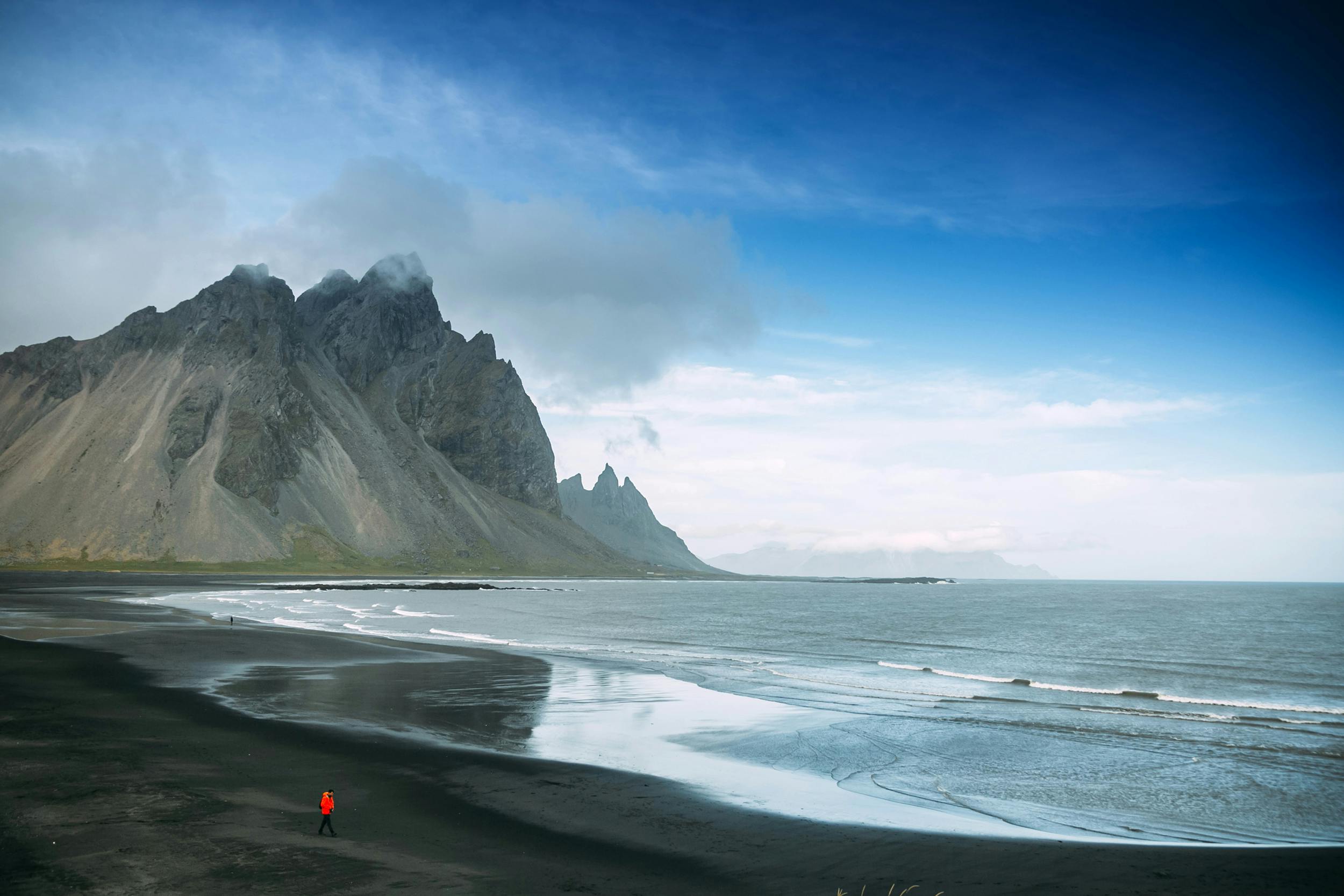
Freshly strengthened, you should set out to explore the Vestrahorn area, about 7 kilometers east of Höfn. If you leave the car at the parking lot, you can hike to the sandy beach and admire the Vestrahorn mountain for free, if you want to continue by car, then you have to pay “entrance fee” for it.
You could also drive about 45 kilometers further east on the ring road and hike to the lighthouse on the Hvalnes peninsula to look out over the Atlantic from there. From here to Reykjavík it is exactly 500 kilometers on the ring road along the south coast - and perhaps this is the perfect place to review what you have experienced in the south of Iceland.
Fotos: Thomas Linkel, Carina Pilz, unsplash je 1x: Agnieszka Mordaunt, Bogdan Pasca, 66-North, Marc Szeglat, Mauro-Fabio Cilurzo
